
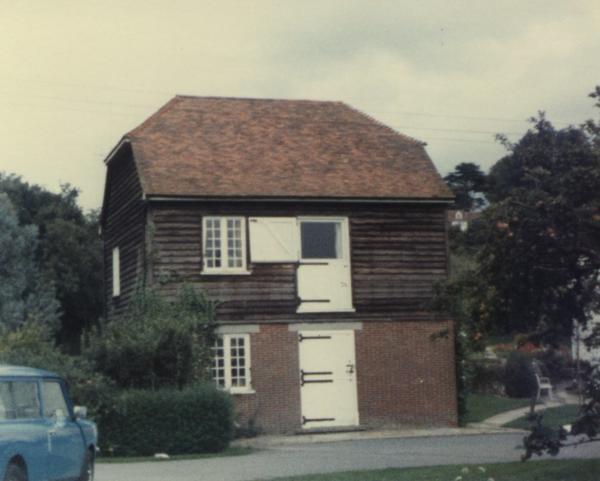
Chart Mill, Chart Sutton
A water-powered corn mill in the historic county of Kent, England.
See related images and documents.
See images only.
Full details
| Power source | Water |
| Mill type | Watermill |
| River | Tributary to Beult |
| Mill function | Corn mill |
| Archive ID | 8587 |
| Location | Chart Sutton, Maidstone |
| Historic county | Kent |
| Country | England, United Kingdom |
| NGR | TQ 793 494 |
| Latitude/longitude | 51.21564700, 0.56588280 |
Location
Gallery
References
- Alan Stoyel, Mills Archive Foundation Trustee
Missing information? Click here to tell us about this mill.